by Sherri on April 14, 2008
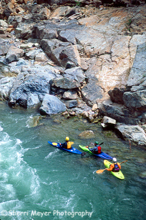
Group of kayaker’s preparing for take off, on the north fork of the American River, near Colfax and Weimar, California
This theme on paddling the north fork of the American River has been very popular, so I decided to post one more photo of it.Â
These guys are in an eddy, just below where the photo in my last post was taken.Â
Note: Please be sure to read my post, kayaking the north fork of the American River for more information on paddling the American River.
You can license, or order a print of this image in our kayaking gallery.
by Sherri on April 10, 2008
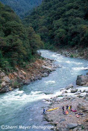
Kayaker’s at Yankee Jim’s, north fork of the American River, near Colfax and Weimar, California
You are looking upstream from the bridge at Yankee Jim’s, where this group of kayaker’s are getting ready to put in for an awesome paddle on the north fork of the American River.
by Sherri on April 8, 2008
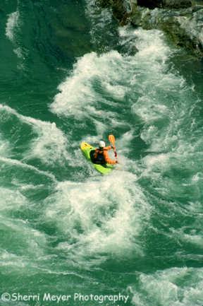
Kayaking the north fork of the American River at Yankee Jim’s
Spring is here in the Sierra Foothills. It’s the best time of the year to enjoy paddling on the north fork of the American River.
The north fork of the American River is one of the few rivers left, that doesn’t rely on dam releases for it’s water source. It depends soley on spring runoff. Therefore, the paddling season on this fork of the river is much shorter than both the middle and south forks.Â
Visit Canyon Raft Rentals for more information on paddling all three forks of the American River.
Happy Paddling!
by Sherri on March 24, 2008
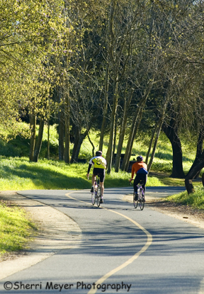
Biking the Jedediah Smith Memorial Trail, American River Parkway, Sacramento, California
I have lived less than an hour away from Sacramento for 22 years, but I had never checked out the Jedediah Smith Memorial Trail in all those years, until recently.
[click to continue…]
by Sherri on March 20, 2008
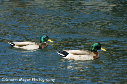
Mallard Ducks at the American River Parkway, Sacramento, CA
Last weekend, Jeff and I did a photo shoot at the American River Parkway in Sacramento. Our assignment was to capture photos of bikers on the Jedediah Smith Memorial Trail, named the #1 bike path in the nation for 2006 by www.trails.com.
While we were scouting the area for great locations, I got a little sidetracked by these beautiful Mallards.Â
 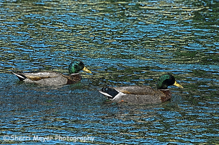
Digital art version of the photo above
I love experimenting in PhotoShop. At first, I preferred the original shot. After looking at them for awhile, I have changed my mind. Now, I like the digital art version the best.Â
Which one do you prefer?
by Sherri on March 19, 2008
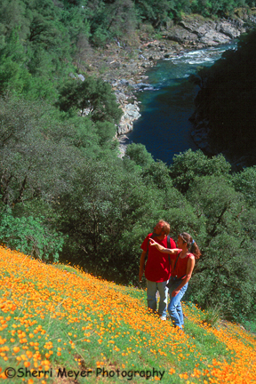
Couple hiking the Windy Point Trail, Colfax, CA.
One of the most spectacular locations to enjoy and photograph wildflowers in the Sierra Foothills is without a doubt the Windy Point Trail. [click to continue…]
by Sherri on March 18, 2008
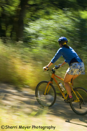
Pan shot of a woman mountain biking the Stagecoach Trail, ASRA, Auburn, CA
The Stagecoach Trail is the #1 trail of the Clementine Loop Trail. It starts at Russell Road (off of Lincoln Way) in Auburn and ends about 2-miles later at the North Fork of the American River. If you plan to continue on here to trail # 2, cross over the Old Foresthill Road Bridge and hook up with the Clementine Trail on the left.
This trail is considered a beginner/intermediate trail. It’s an old fire road, so it’s very wide all the way down to the river, which is the easy part. But, it’s downhill all the way. Which means, for those that want to turn around here and return to Russell Road, it’s all uphill and that bumps this trail up to intermediate.
Note: All the trails that make up the Clementine Loop Trail are great for hiking and running too. They are also “dog friendly” for leashed dogs.
You can view more of our mountain biking stock photos in our Biking Gallery.
by Sherri on March 17, 2008
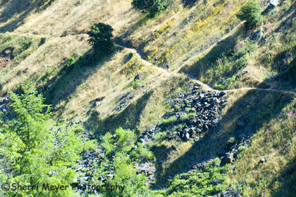
Mountain biking the Clementine Trail, ASRA, Auburn, CA
Look close. There are actually 2 mountain bikers in the middle of this photo. I was hiking on the other side of the river when I shot this. I decided to travel light that day and left my long zoom lens behind. Unfortunately!Â
[click to continue…]
by Sherri on March 14, 2008
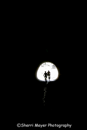
Silhouetted mountain bikers riding through the culvert, Auburn State Recreation Area, Auburn, California
The Culvert Trail is trail #4 of the 5 trails that make up the Clementine Loop Trail. It runs from Lake Clementine Road to the Auburn-Foresthill Road and drops down into Mammoth Bar. At this point it hooks up with trail #5, the Confluence Trail, which parallels the Middle Fork of the American River.Â
by Sherri on March 10, 2008
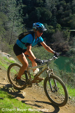
Mountain biking the Confluence Trail, Auburn State Recreation Area, Auburn, California
The Confluence Trail is #5 of the five trails that make up the Clementine Loop Trail. It begins off Old Foresthill Road out of the Mammoth Bar OHV area in Placer County, runs along the Middle Fork of the American River and ends up at the Foresthill Bridge.
The Quarry Trail (see the trail in the background of this photo) that I wrote about in previous posts, is on the other side of the river, in El Dorado County.
Note: This trail is recommended for advanced riders only.


