by Sherri on February 26, 2008
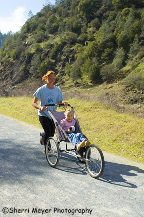
Mother and daughter running on the Quarry Road Trail, Auburn State Recreation Area, Auburn, CA
If you are looking for a trail in the Auburn area suitable for baby strollers, the Quarry Road Trail can’t be beat! It parallels the Middle Fork of the American River, it’s easy and it’s wide.
To see more Running Stock Photos, please visit our Running Gallery.
by Sherri on February 25, 2008
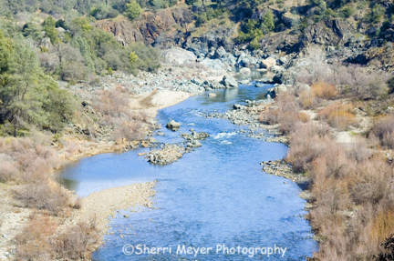
Middle Fork of the American River, Auburn State Recreation Area, Auburn, California
The American River is not literally my backyard, but it’s only minutes away. Within 15-20 minutes, I can be in a number of photographic hot spots this good, or better!
This shot was taken during our hike on the Quarry Road Trail.
by Sherri on February 22, 2008
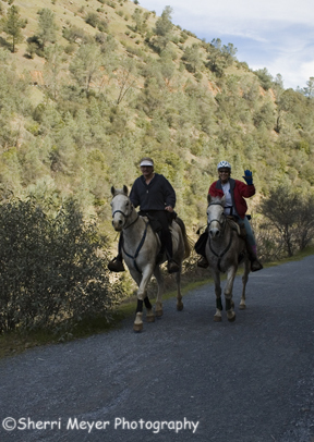
Couple horseback riding on the Quarry Road Trail, Auburn State Recreation Area, Auburn, California
When Jeff, Kim and I dropped down into the American River Canyon via historic highway 49 on Monday, we were shocked and disappointed at the amount of people out and about.
[click to continue…]
by Sherri on February 20, 2008
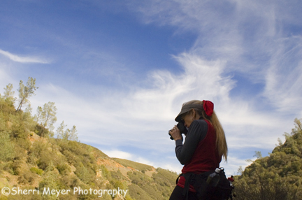
Photographer, Kim Brown photographing the American River, Auburn State Recreation Area, Auburn, CA
What started out to be a day hike with a few friends this past weekend, turned into a informal photo workshop with our friend (and recently retired Photography Instructor at Placer High School in Auburn), Kim Brown.
[click to continue…]
by Sherri on February 18, 2008
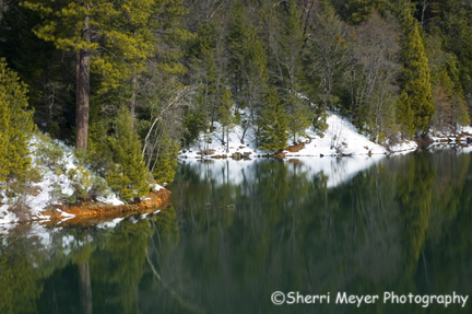
Snowy shoreline and reflections at Sugar Pine Reservoir, Foresthill, CA
For this shot of Sugar Pine Reservoir, I eliminated the sky. One way to add impact to your photographs is by eliminating the sky, especially when it’s not all that interesting.
For more on this, read my post When in doubt – leave it out!
by Sherri on February 15, 2008
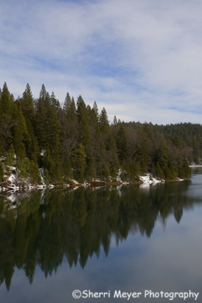
Sugar Pine Reservoir, Foresthill, California.
Sugar Pine Reservoir is located near China Wall, just a few miles from Foresthill and about 45 minutes from Auburn.
As I mentioned in a previous post, it is one of our favorite places to visit in the summer. We have also visited in the spring. It’s great too, especially if you have a passion for wildflowers. You will find an abundance of them, in many varieties.
But, one thing my husband and I had never done is to visit there in the winter. On our day trip the other day to China Wall, we also checked out Sugar Pine. We couldn’t get in to the boat launch area on that particular day, as it had not been plowed yet. But, we were able to park at the dam on the other side. They keep the main road plowed during the winter, as it is an alternative route to highway 80 from the Foresthill area.
We were glad we took the time to check it out. It’s much prettier in the winter than it is in the summer, which made this a great photo opportunity.
Directions – follow the directions to the China Wall Staging Area. Then turn left at the sign to Sugar Pine Reservor and follow it for about 6-miles. This turn off is about 4-miles before you get to China Wall.
by Sherri on February 13, 2008
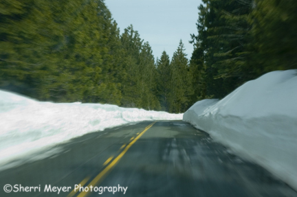
Auburn-Foresthill Road nearing China Wall, Foresthill, California.
Are you planning to head up to China Wall this weekend for a little cross country skiing, snowshoeing or perhaps snowmobiling?
I shot this photo through the windshield, on our way to China Wall last Thursday. I think it does a better job of showing you how much snow there is, than any of the photos in my previous posts on China Wall. Jeff and I have been up there many times in the past and never witnessed conditions as good as this!
How I got the shot
To get this shot, I used a shutter speed of 1/10 sec and a aperture of f 22. The reason I choose this combination of settings was to enable me to use the technique of zooming to show a little motion. You can see my zoom results in the foreground, on both sides of the photo.
You can learn all about zooming in one of my most popular posts “How to create great zooms.”
For more information on China Wall
Check out my previous posts from the last few days, for more information and photos of the China Wall area.
by Sherri on February 12, 2008
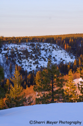
Snow covered ridge at sunset, China Wall, near Foresthill, California.
I was heading back to the truck, when I got a glimpse of the sun setting on this ridge. This is looking northeast of where the two previous China Wall Sunset shots were taken.
by Sherri on February 11, 2008
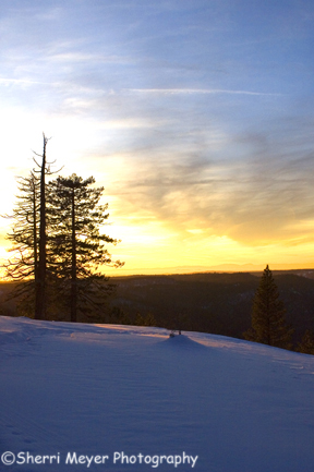
China Wall Sunset, near Foresthill, California.
This shot was taken shortly after the previous China Wall Sunset shot. You are looking in the same direction too, but just a little bit south.
by Sherri on February 10, 2008
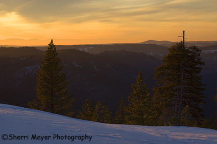
Sierra Sunset at China Wall, near Foresthill, CA.
You are looking out over the American River Canyon, with the Sacramento Valley in the middle and the California Coastal Range in the far distance.
I will be posting more photos of China Wall this week.


